

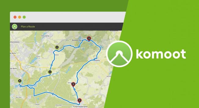
#BendingSpoons is a #PrivateEquity firm. #Komoot #bike users should download their already ridden or planned #tracks as #GPX files as soon as possible before they have to pay a lot for them (or even to get a #map update). Better alternatives to Komoot: #Routing with #Brouter , #Cyclers , #VisuGPX or #Valhalla ; (free) navigation with #OrganicMaps or #CycleTravel . Everything else (photos, etc.) is anyway a #socialmedia feature.
#BikeTooter #fahrrad #vélo #cyclotourisme
https://road.cc/content/news/job-cuts-expected-komoot-after-tech-firm-purchase-313159
road.cc · “Totally blindsided”: Cuts and job losses expected at Komoot after route planning app bought by Italian tech firm infamous for mass layoffsKomoot employees say they have been “blindsided” by Bending Spoons’ purchase, which comes after the brand introduced a new premium subscription for users to send routes to bike computers


libvalhalla (Linux, Windows, macOS, Android, ios) Python (via pybind, eingeschränkte Funktionalität)")


 fürs Fahrrad
  aus und kann mir sagen, welche Einstellungen man bei